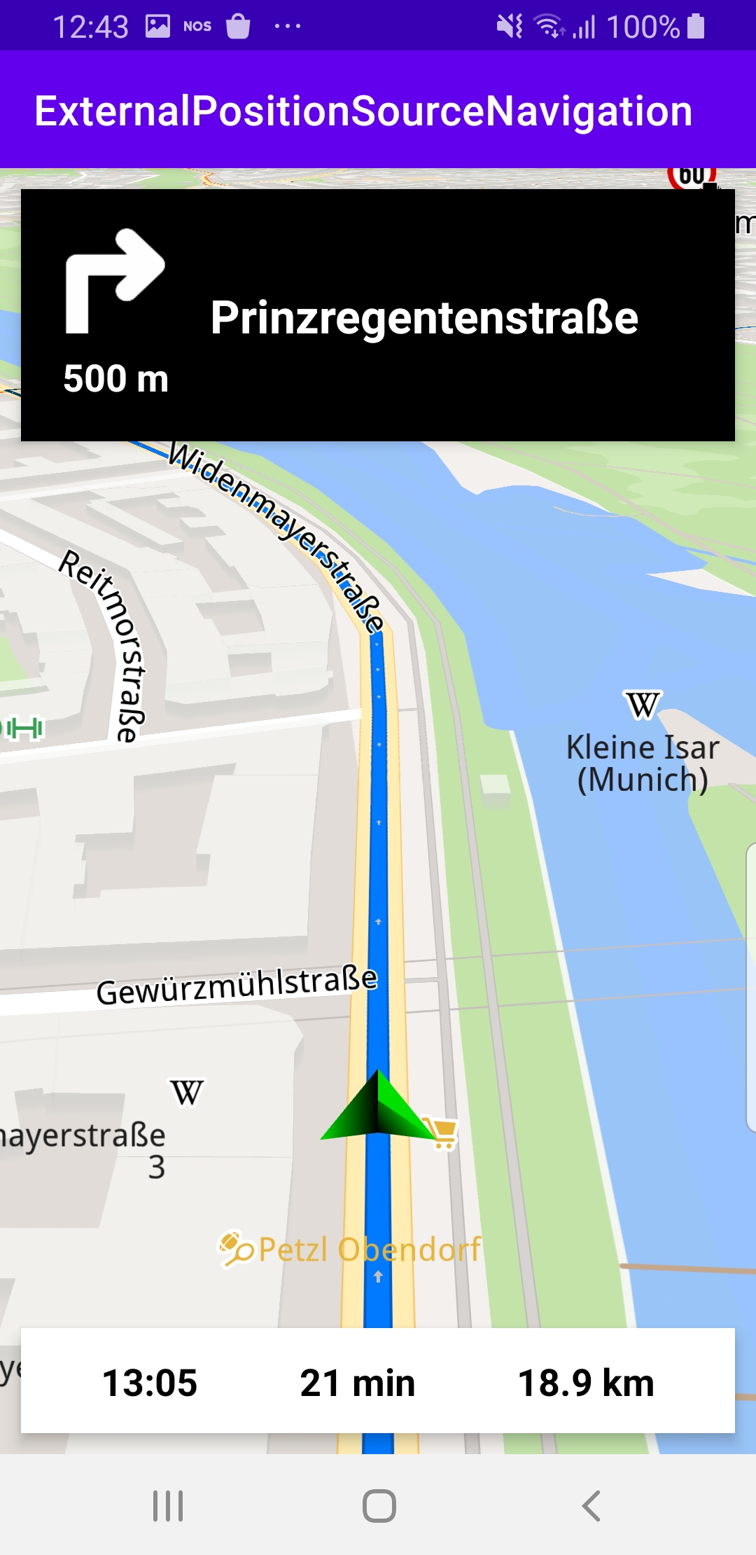
External Position Source Navigation
In this guide you will learn how to render
an interactive map, and simulate navigation along a route
defined by an external data source, containing a series
of longitude,latitude coordinate pairs defining successive
positions along the route.
The map is fully 3D, supporting pan, pinch-zoom,
rotate and tilt.
Setup
First, get an API key token, see the
Getting Started guide.
Download the ExternalPositionSourceNavigation project archive file or clone the project with Git
See the Configure Android Example guide.
Run the example
In Android Studio, from the File menu, select Sync Project with Gradle Files
|
|||
An android device should be connected via USB cable.
Press SHIFT+F10 to compile, install and run the example on the
android device.
How it works
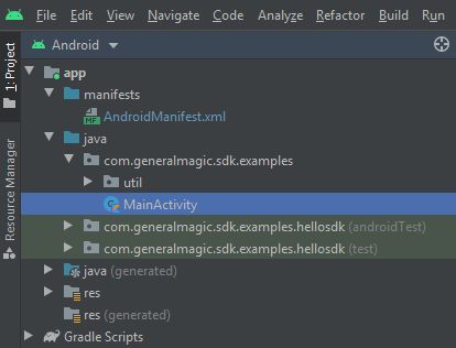
You can open the MainActivity.kt file to see how the external position source navigation works.
 1SdkSettings.onMapDataReady = { mapReady ->
 2    if (mapReady)
 3    {
 4        var externalDataSource: ExternalDataSource?
 5        var index = 0
 6        val positions = arrayOf(Pair(48.133931, 11.582914),
 7            Pair(48.134015, 11.583203),
 8            Pair(48.134057, 11.583348),
 9            Pair(48.134085, 11.583499),
10            ...
The
MainActivity overrides the onCreate function, in which an array of positions
is defined, to be used as the external position source for navigation.Using the sequence of positions as input, there are values and functions to compute
the heading,
getBearing,distance on the surface of a sphere,
getDistanceOnGeoid,current speed
getSpeed,estimated time of arrival at the destination,
getEta(),remaining travel time,
getRtt(),remaining travel distance,
getRtd(). 1SdkCall.execute {
2 positionService = PositionService()
3 externalDataSource = DataSourceFactory.produceExternal(arrayListOf(EDataType.Position))
4 externalDataSource?.start()
5 positionListener = PositionListener { position: PositionData ->
6 if (position.isValid())
7 {
8 navigationService.startNavigation(
9 Landmark("Poing", 48.17192581, 11.80789822),
10 navigationListener,
11 routingProgressListener
12 )
13 positionService.removeListener(positionListener)
14 }
15 }
16 positionService.dataSource = externalDataSource
17 positionService.addListener(positionListener)
18 externalDataSource?.let { dataSource ->
19 fixedRateTimer("timer", false, 0L, 1000) {
20 SdkCall.execute {
21 val externalPosition
22 = ExternalPosition.produceExternalPosition(System.currentTimeMillis(),
23 positions[index].first,
24 positions[index].second,
25 -1.0,
26 getBearing(),
27 getSpeed())
28 externalPosition?.let { pos ->
29 dataSource.pushData(pos)
30 }
31 index++
32 if (index == positions.size)
33 {
34 index = 0
35 }
36 }
37 }
38 }
39}
An
externalDataSource is instantiated for the EDataType.Position,
and a positionListener is instantiated with the array of position coordinates
previously defined. Both of these instances are set in the positionService.A
fixedRateTimer timer is set to read a position from the array every second
(1000 milliseconds), and update the navigation simulation. Although the
positions are read at a steady rate, simulation travel speed can vary, as
subsequent positions may be closer or further from each other.