Maps & 3D Scene
These articles provide extensive coverage of GemMap widget functionality and techniques.
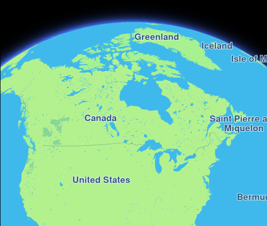
Hello Map
Display an interactive map using Maps SDK for Flutter.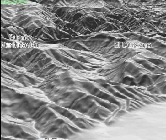
Map Styles
Display an interactive map with a non-default style.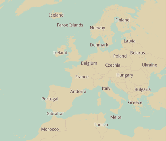
Assets Map Style
Display an interactive map with a custom style from assets.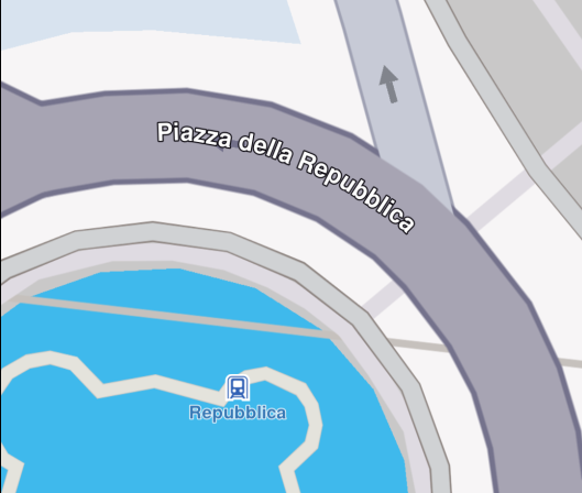
Center Coordinates
Center the map on specific coordinates.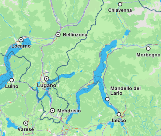
Map Gestures
Capture gestures data on a map.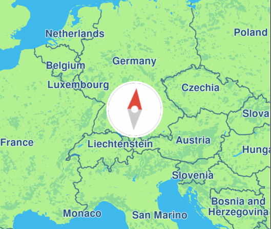
Map Compass
Render a compass icon that displays the heading rotation of the map.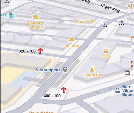
Map Perspective
Toggle between 2D and 3D map perspective.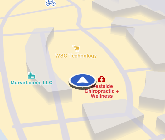
Follow Position
Follow the device's location on a map.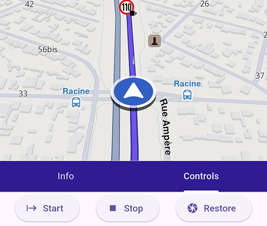
Advanced Follow Position
Configure advanced settings for following the device's location on a map.Custom Position Icon
Customize the position tracker.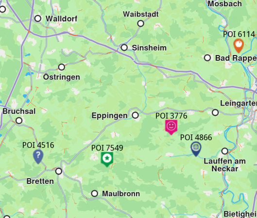
Add Markers
Add custom markers on map.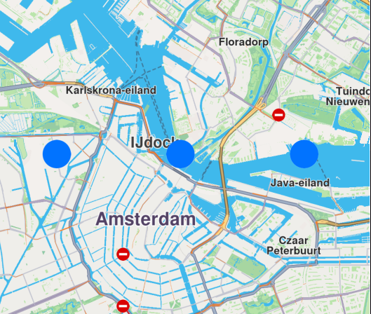
Draw Shapes on Map
Draw and display polylines, polygons and points.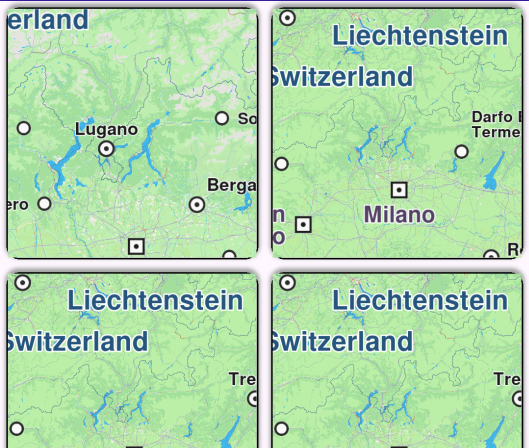
Multiview Map
Display multiple interactive maps in one viewport.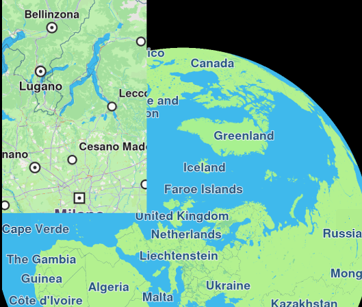
Overlapped Maps
Display two overlapped maps.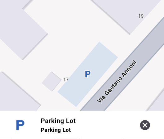
Map Selection
Explore POIs and select destination with ease.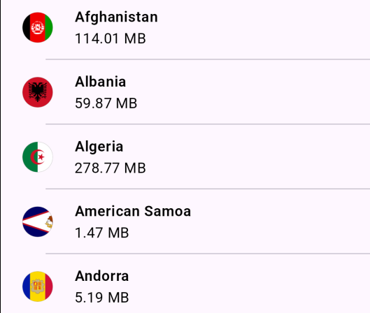
Map Download
Download maps for offline use.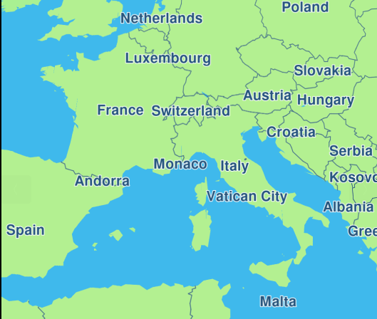
Map Update
Download and apply updates to maps.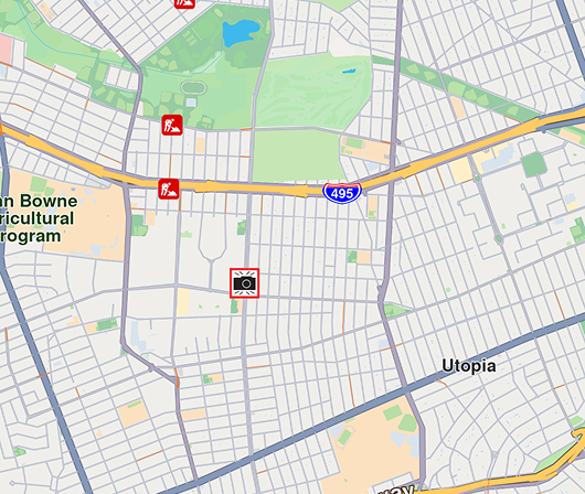
Center Area
Center map camera on a specific geographic area.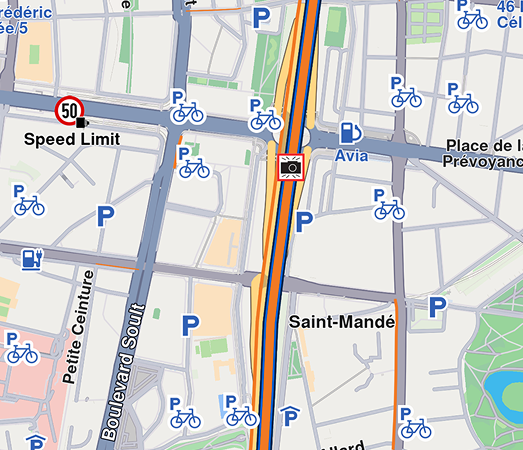
Center Traffic
Center map camera on a specific geographic area.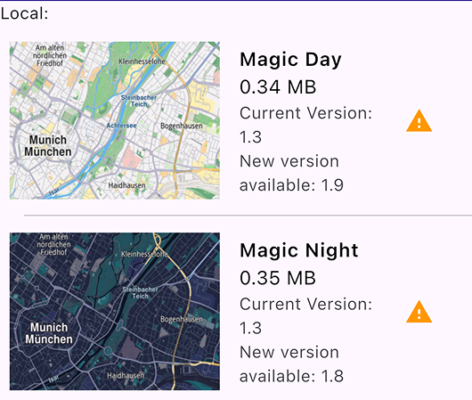
Map Style Update
Update old versions of map styles.
Send Debug Info
Share debug information as a .txt file.
Social Report
Upload and view social reports.
Public Transport Stop Schedule
Display stop times for public transport POIs.
Draw Roadblock
Draw and upload a roadblock using coordinates.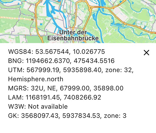
Projections
Display coordinates in different projections systems.