Kotlin Tutorial App 
Example App Guide 
First, get an API key token, see the Getting Started guide.
Download the Maps & Navigation SDK for Android archive file
Download the
TutorialAppKotlin
project
archive file or clone the project with Git
.aar
extension.
.aar
file
to the TutorialAppKotlin/
app/libs/
directory.
Open
an
Existing
Project
.
A dialog may appear, informing you that the Android SDK you have will be used.
On the left margin, double-click Project, then app->manifests->AndroidManifest.xml
AndroidManifest.xml
, replace YOUR_TOKEN with
your actual API key token copied above.
File
menu, select
Sync
Project
with
Gradle
Files
Kotlin Example App Overview 
Maps 
-
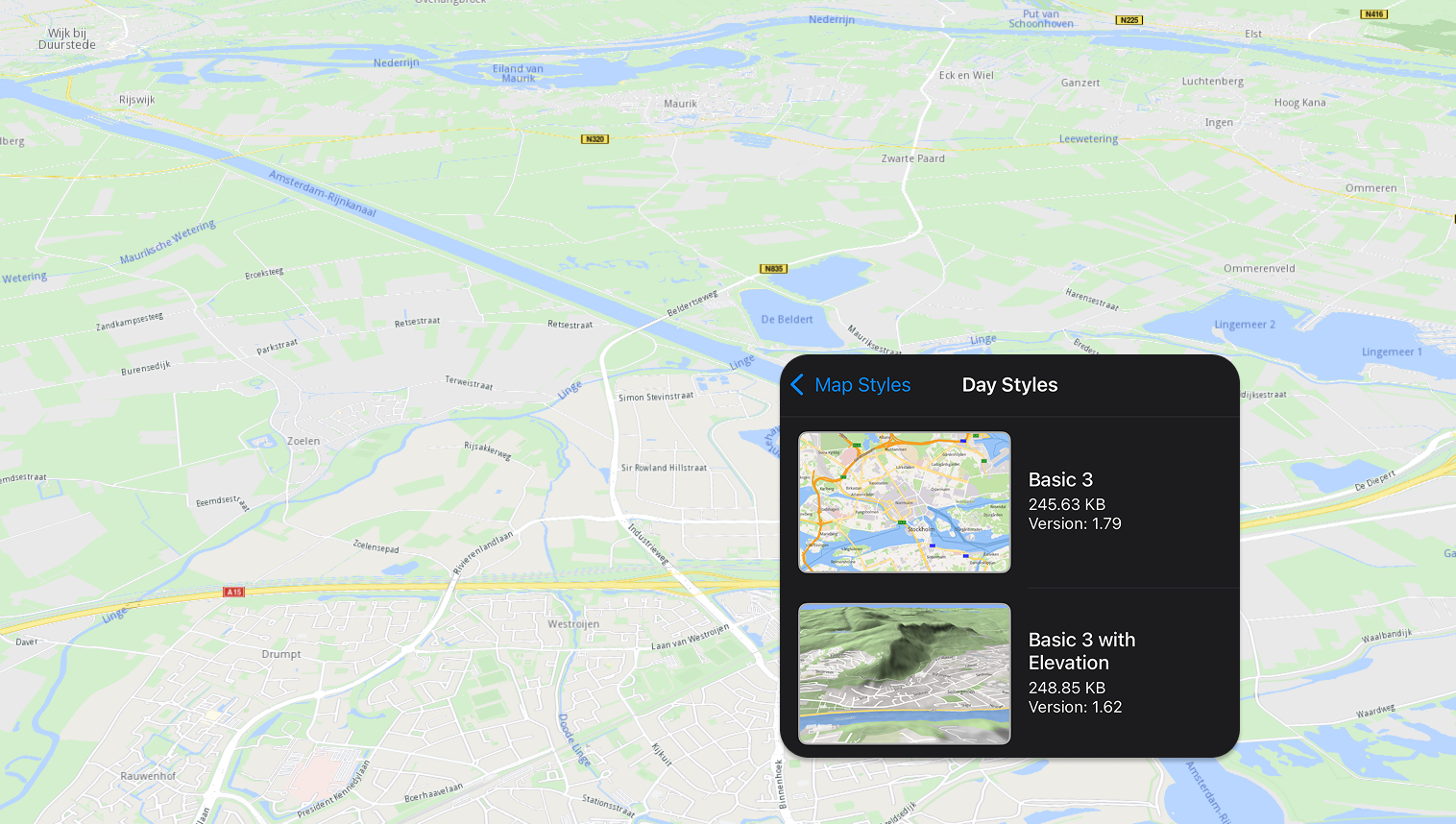
To change the map style select
Styles
in the left top corner menu.
There are many options such as satellite imagery, 3D terrain topography, day or night
-
One map view (the map fills the entire screen)
-
Two tiled map views (2 maps, each covering half of the screen)
-
Two overlapped map views (2 maps, one covering the whole screen and one or more smaller inset map(s))
Search 
-
Free text search (search for any location or point of interest)
-
What’s nearby (search around a specific location)
-
Gas stations (see gas stations, for example, near a specific location; or restaurants near a specific location, etc)
Routing 
-
A to B route (a route from A to B is rendered on the map)
-
A to B via C route (a route via a specified intermediate waypoint)
To
calculate and render a route on the map
, select
Route
-
Custom
in the left top corner menu.
Pan and zoom the map to select a starting position, by placing the center icon on it, then click the green icon in the lower right corner of the screen
Pan and zoom the map to select a destination position, then click the red icon in the lower right corner of the screen
A route is calculated and rendered in blue on the map
Offline Maps 
-
Download maps for offline use, including routing and navigation, without an internet connection (maps are available for any country, or just regions of a country for some countries)
Select
Online
Maps
in the left top corner menu; to quickly find
a given country, type one or more letters in the search box at the top
Fly to 
-
Fly to landmark (shows a certain location on the map and details about the specific location. If the location has a Wikipedia page, you can see Wikipedia images for it, read the description of the location and access the Wikipedia page)
-
Fly to area (shows a certain area on the map and details about it. If the area has a Wikipedia page, you can see Wikipedia images for it, read the description of the area and access the Wikipedia page)
-
Fly to route (shows a route on the map and you can simulate navigation along it or see the route instructions)
-
Fly to route instructions (shows a route on the map and you can see the next move you should make as an image and as text instruction in a black panel on the top of your screen e.g. “Leave the roundabout at the 1st exit”, including the distance to the next move)
-
Fly to traffic (shows on the map an area that has heavy traffic and you are informed in a black panel on the top of your screen that you are queuing traffic for a distance/ period of time e.g. “1 min, 1.3 km, Queuing traffic”)
Server 
-
Set a custom server (you can choose to use a custom server)