Routing & Navigation
Easily find the best route to a desired destination with precise data and live traffic. Regardless whether your users are online or offline.
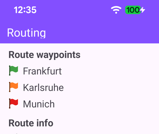
Routing
Compute a route between waypoints and display its distance and travel time.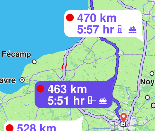
Routing On Map
Compute and render a route on the map and fly to the route.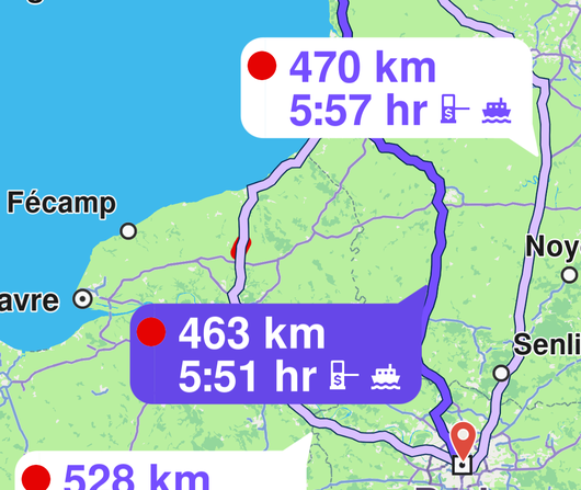
Routing On Map Java
Compute and render a route on the map and fly to the route, written in Java.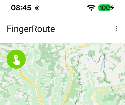
Finger Route
Draw a path on the map with your finger and compute a route that follows it.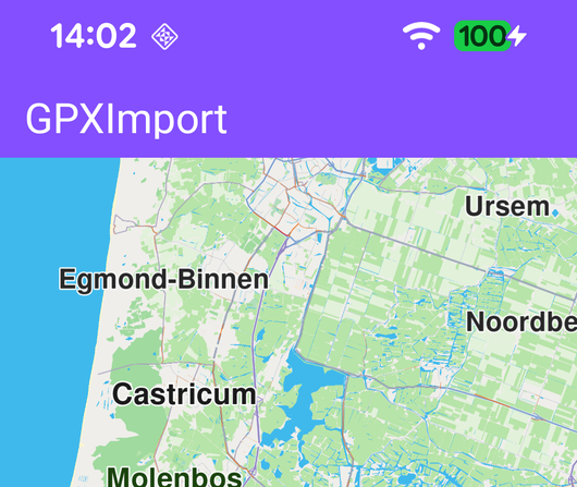
GPX Import
Import a GPX file, display its path on the map, and compute a route along it.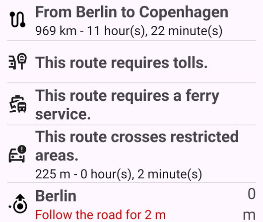
Route Instructions
Display the text instructions for a computed route.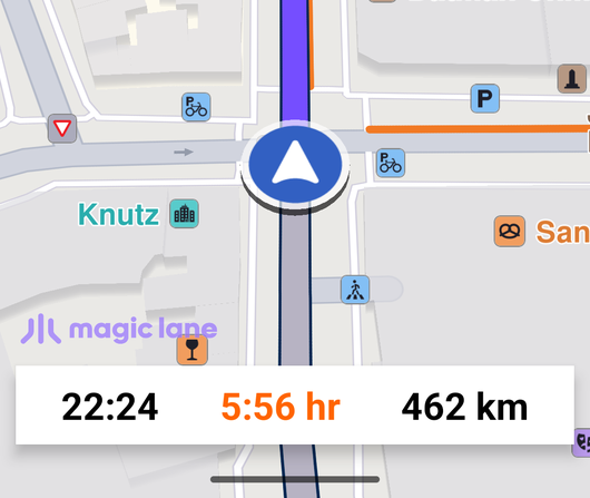
Route Navigation
Do real navigation from the current position to a desired destination.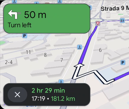
Android Auto Navigation
Run turn-by-turn navigation on the Android Auto car head unit.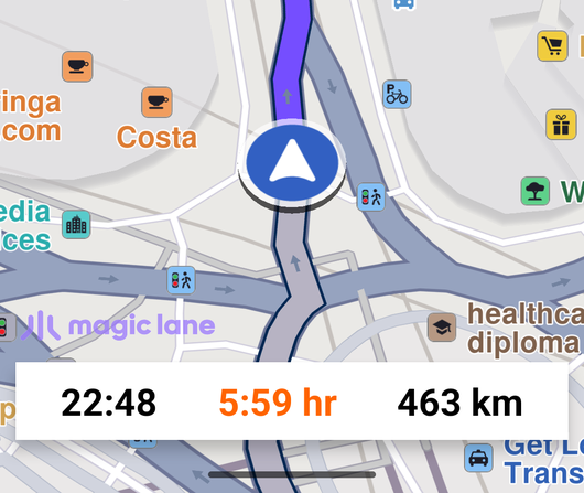
Route Simulation
Simulate turn-by-turn navigation along a route with instruction and traffic panels.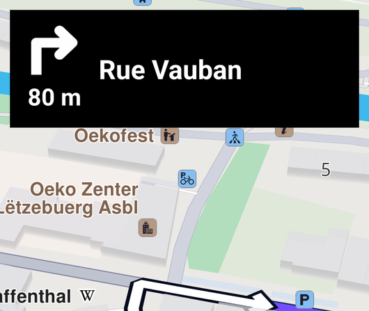
Downloaded Onboard Map Simulation
Simulate navigation using pre-downloaded onboard map data, with no online connection required.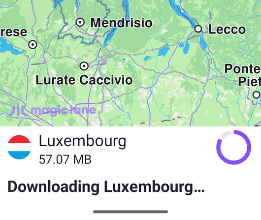
Downloading Onboard Map Simulation
Download an onboard map from the content store, then simulate navigation on it.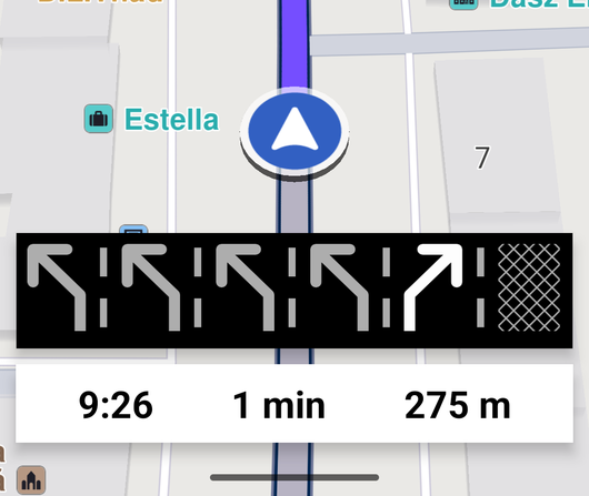
Lane Instructions
Show lane instruction icons at the bottom of the viewport.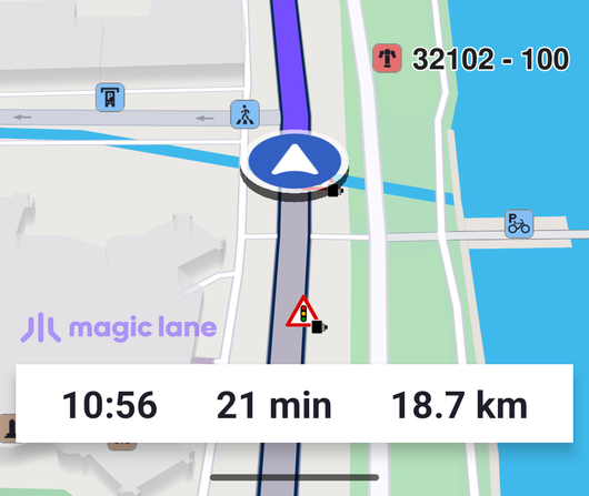
External Position Source Navigation
Simulate navigation along a route defined by an external data source.
Voice Downloading
List all navigation instruction voices available on the server.
Route Terrain Profile
Display terrain statistics for a route.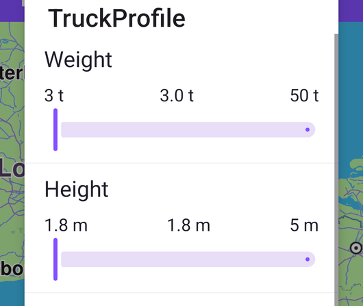
Truck Profile
Compute a route based on the accessibility given by the physical characteristics of a truck.
Set TTS Language
Set or change the TTS voice instruction language.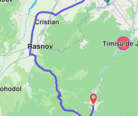
Avoid Geofence Area
Compute a route that avoids a named geofence area.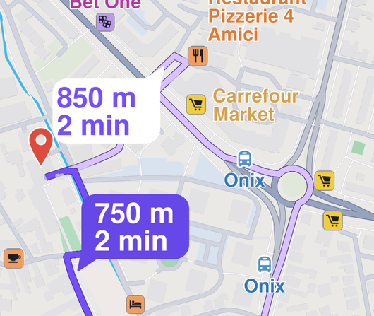
Bike Demo
Search for a destination and navigate to it using a configurable bike routing profile.
Bike Demo Java
Search for a destination and navigate to it using a configurable bike routing profile, written in Java.